惯性聚合 高效追踪和阅读你感兴趣的博客、新闻、科技资讯
阅读原文 在惯性聚合中打开

推荐订阅源

L
LINUX DO - 热门话题
Stack Overflow Blog
Stack Overflow Blog
B
Blog
WordPress大学
WordPress大学
Project Zero
Project Zero
P
Palo Alto Networks Blog
阮一峰的网络日志
阮一峰的网络日志
博客园 - 司徒正美
有赞技术团队
有赞技术团队
S
SegmentFault 最新的问题
freeCodeCamp Programming Tutorials: Python, JavaScript, Git & More
小众软件
小众软件
T
Tailwind CSS Blog
Forbes - Security
Forbes - Security
F
Full Disclosure
SecWiki News
SecWiki News
钛媒体:引领未来商业与生活新知
钛媒体:引领未来商业与生活新知
Hacker News: Ask HN
Hacker News: Ask HN
C
Check Point Blog
Microsoft Security Blog
Threat Intelligence Blog | Flashpoint
F
Fortinet All Blogs
Cisco Talos Blog
Cisco Talos Blog
G
Google Developers Blog
J
Java Code Geeks
Google DeepMind News
人人都是产品经理
人人都是产品经理
CTFtime.org: upcoming CTF events
Recorded Future
Recorded Future
O
OpenAI News
Spread Privacy
Spread Privacy
MongoDB | Blog
MongoDB | Blog
H
Hackread – Cybersecurity News, Data Breaches, AI and More
C
Cybersecurity and Infrastructure Security Agency CISA
S
Securelist
V
Vulnerabilities – Threatpost
Y
Y Combinator Blog
IT之家
IT之家
U
Unit 42
腾讯CDC
S
Security Affairs
C
Cisco Blogs
Schneier on Security
The Last Watchdog
The Last Watchdog
B
Blog RSS Feed
宝玉的分享
宝玉的分享
cs.AI updates on arXiv.org
S
Security @ Cisco Blogs
Cyberwarzone
Cyberwarzone
T
The Blog of Author Tim Ferriss

博客园 - 风过 无痕

ArcGIS Pro+Gemini+ChatGPT+遥感AI+图解建模+无人机赠送GMail+高分影像 3种数字高程模型模型精度对比研究Accuracy Assessment of Alos W3d30, Aster Gdem and Srtm30 Dem The State of World Fisheries and Aquaculture 2024 - Blue Transformation in action Global Food and Nutrition Security - Key messages What is the naming convention for Landsat Collections Level-1 scenes? 大模型的幻觉是不可避免 GEE哨兵-2光学卫星(S2)地表反射率和NDVI下载 CreateHolesInImage说明文档-对于遥感影像的空洞创建多边形矢量数据 博客园导入word文档docx, doc, markdown md文档的方法 搜狗输入法占用vs visual studio 编译快捷键冲突的解决方法 安卓平板小米平板5取消自动分屏 LANDSAT LC08 C02 T1_L2 metadata dictory 元数据字典 GEE云量计算简单云量估计 主要功能 从数据集中选择云量最小的像素,输出展示 Landsat 8 Collection 2 Tier 1 calibrated top-of-atmosphere (TOA) reflectance Acrobat pdf 编辑添加下划线acrobat pro SuperMap iObjects.NET 64位开发入门 多个文本文件合并 IDL实现TM遥感影像直方图统计(中值、均值、方差、众数及峰度系数计算)(转) envi5.3打开失败JSON_PARSE: Invalid string, no closing '"' GEE的存储空间 Photoshop无法载入动作,因为意外地遇到文件尾-处理办法
ArcGIS空间分析案例教程-网格和标记生成
风过 无痕 · 2022-06-10 · via 博客园 - 风过 无痕

ArcGIS空间分析案例教程-网格和标记生成

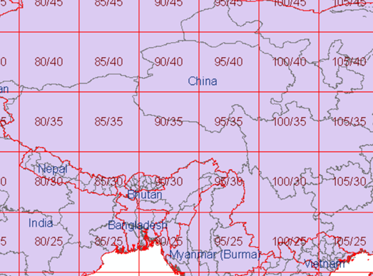
效果:生成全球或局部区域的标准或非标准网格,标明行列号

工具难度和功能系数:20

arcgis操作、制图、开发、分析、培训、研发、单位机构和重大科技项目技术商业,服务购买请直接说需求,qq  ArcGisky: 878796212。个人qq 2155065689,不闲聊。

购买获取:1.购买线下培训课程,赠与所有工具,提供免费技术咨询,2.单独购买工具。