提取遥感影像的空洞地理处理工具箱
特点:
- 通用地理处理工具,支持任何遥感影像,包括无人机,卫星遥感,普通图片和gdb,mdb数据库等。
- 速度快,极致效率,
- 效率高,支持对多个文件夹下的任意多数据进行批处理
- 使用简单,全自动话,无人工干预
功能:
- 提取空洞
- 提取空洞和非空洞
- 默认临时文件夹,结果文件夹
- 默认临时工作空间,结果文件夹
- 指定临时文件夹,结果文件夹
- 指定临时工作空间,结果文件夹
- 对指定波段提取
- 默认波段提取
- 迭代处理多个文件夹、工作空间
使用方式:
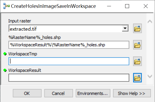
单个数据处理
文件夹下数据的批处理

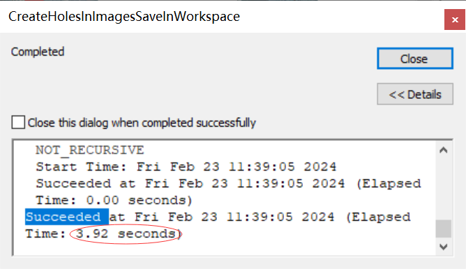
批处理效果
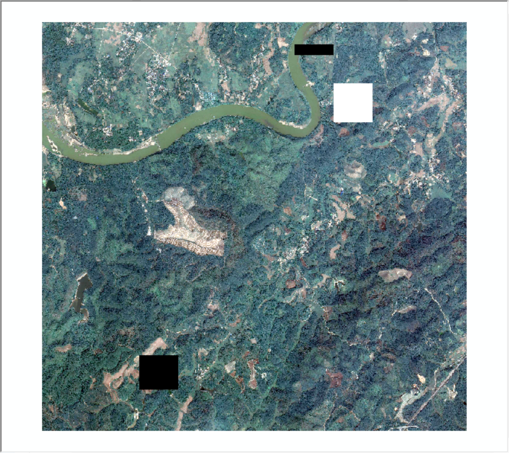
原始数据
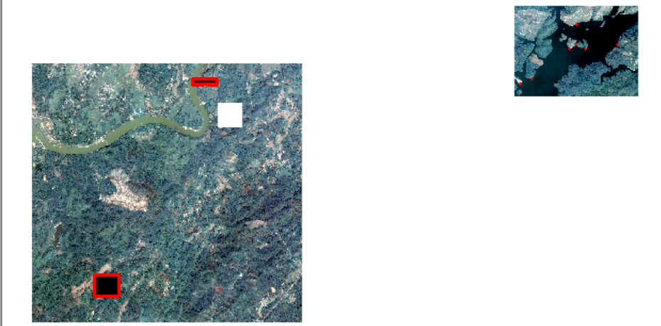
结果:

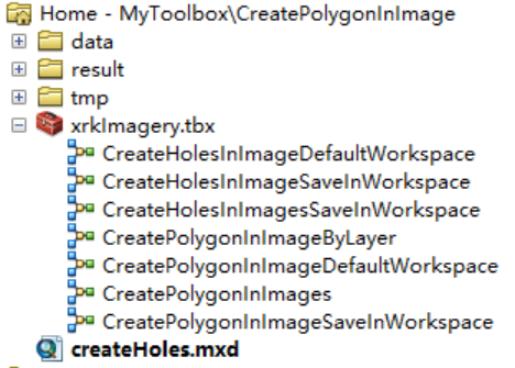
工具箱:
posted on
2024-02-23 11:59
风过 无痕
阅读(68)
评论()
收藏
举报