








Satellite images can make water loss visible in a way that figures often cannot. Around the world, rivers, lakes, reservoirs, and wetlands are being reshaped by drought, rising temperatures, water diversion, and growing demand from people, farms, and cities.
In some cases, the decline has happened slowly. In others, familiar water bodies have almost vanished within a few decades.
From South America’s river networks to Bolivia’s high-altitude lakes and the reservoirs of the American West, these places show how quickly a landscape can change when water begins to retreat.
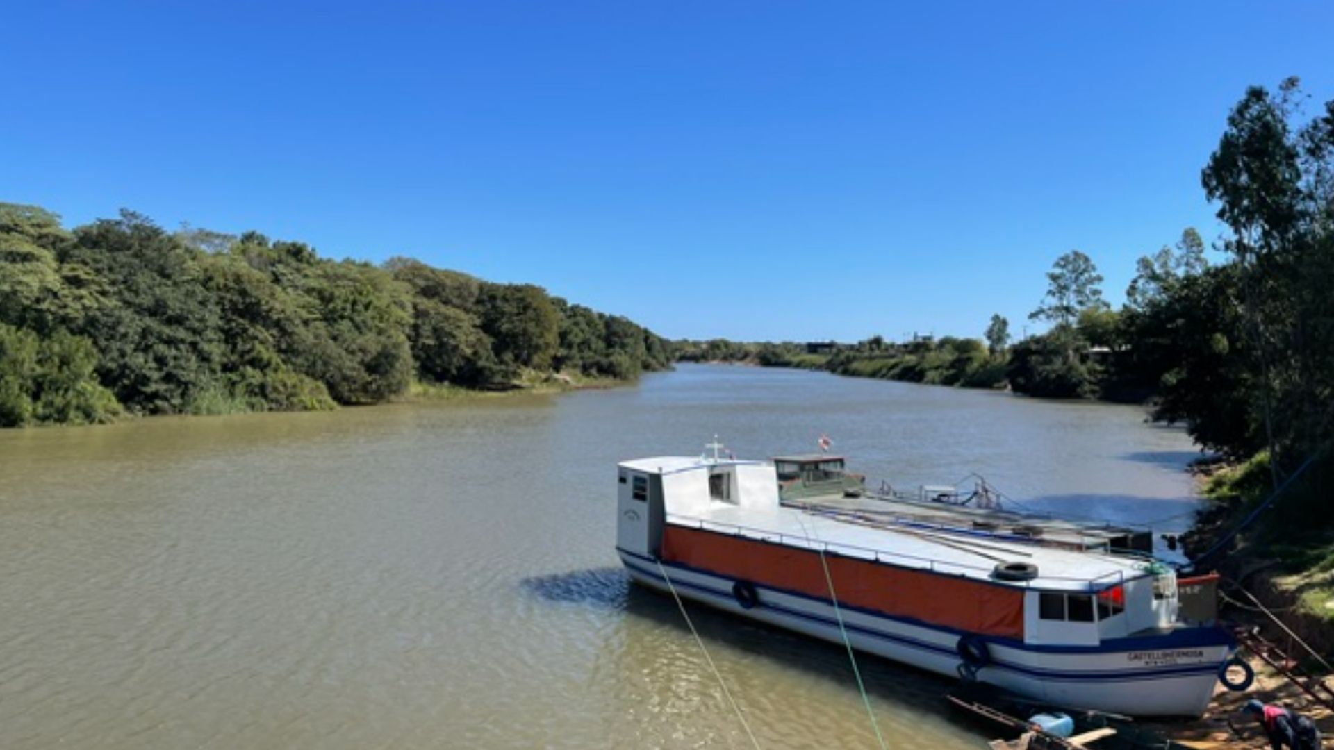
Stretching around 3,030 miles (4,900km), the Parana River is the second-longest river in South America after the Amazon. It is also a major trade route for the region, helping connect Brazil, Paraguay, and Argentina.
Satellite images from 1990 and 2026 show the scale of the change near the port of Rosario. After years of drought, water levels have dropped sharply, leaving large sections of riverbed exposed and creating new islands in the channel.
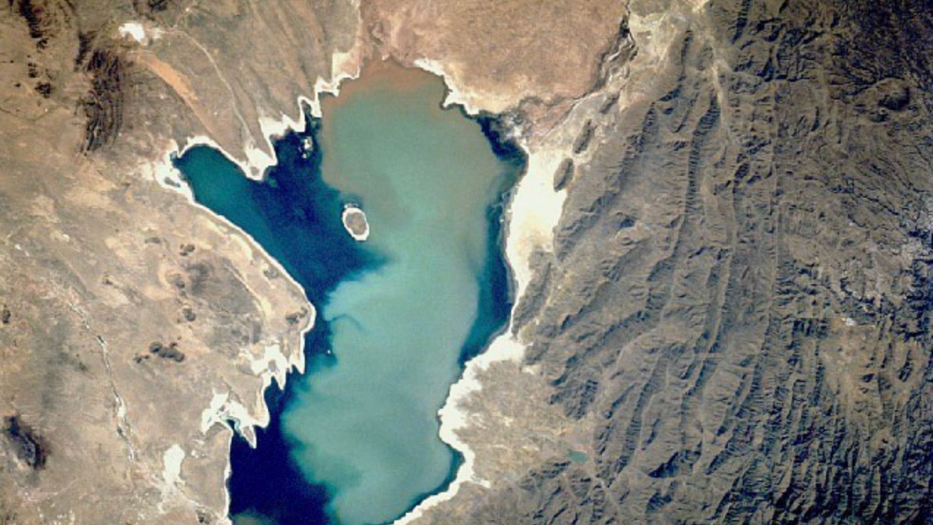
Lake Poopo was once Bolivia’s second-largest lake. Located 3,700 metres (12,000 feet) above sea level, it once spread across about 1,000 square kilometers (390 square miles) and supported fisheries as well as Indigenous Uru communities.
Satellite images from 1984 and 2020 show how far the lake has retreated. What was once a major high-altitude lake has largely dried out.
A mix of water diversions, drought, and warming turned much of the lake into a salt flat. The collapse also hit local fisheries and the livelihoods of communities that depended on its waters.
Lake Ngami lies on the southwestern edge of the Okavango Delta in Botswana. Its size has always depended heavily on water flowing in from the wider Okavango system, which means it can shift between wetland conditions and near-dry phases.
Satellite imagery from 1984 and 2020 shows just how sensitive the lake is to those changes. Severe drought and irregular inflows from upstream channels pushed it close to disappearing at its lowest point.
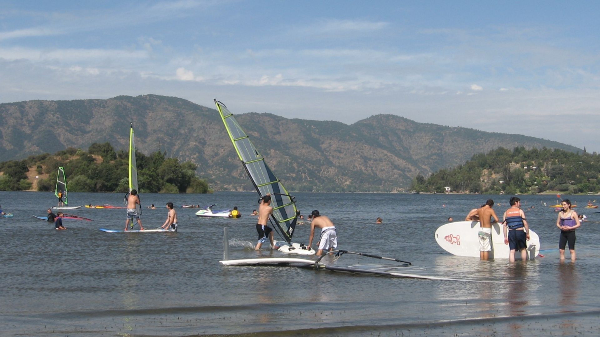
Laguna de Aculeo, in Paine near Santiago, was once a well-known recreational lake and an important local water body.
Satellite images from 2007 and 2026 show a dramatic transformation. The lagoon that once drew visitors and supported nearby communities has largely dried up.
Its decline has been linked to prolonged drought and water stress, making it one of Chile’s clearest examples of a lake disappearing in recent decades.
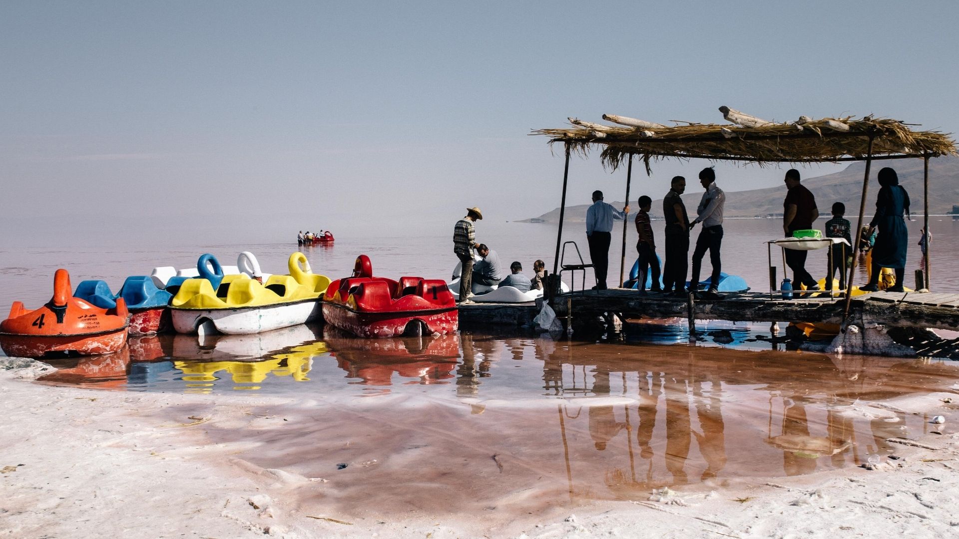
Lake Urmia in northwestern Iran was once the Middle East’s largest saltwater lake. In the 1990s, it covered nearly 6,000sq km (2,300sq miles). Today, it has shrunk to about 581sq km (224sq miles), less than 10 percent of its former size.
The lake’s decline was not caused by a single factor. Consecutive droughts, agricultural water use, river diversion, and groundwater extraction all contributed to its retreat.
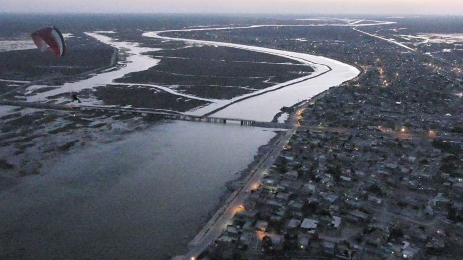
The al-Chibayish Marshes in southern Iraq are part of the broader Mesopotamian Wetlands, a UNESCO World Heritage Site supplied by the Tigris and Euphrates rivers.
They are among the Middle East’s most important wetland ecosystems. But satellite images from 1984 and 2020 show that the area has changed significantly over time.
Ambovombe is located in southern Madagascar, a region known for severe drought and climate pressure.
Satellite imagery from 1985 and 2020 points to a deep ecological crisis in the area. Years of drought, rising temperatures, red sandstorms, and weak rainfall have damaged water sources and farmland.
The effects have been severe for people living there. Subsistence farming and livestock have suffered, adding to hardship and displacement across the region.
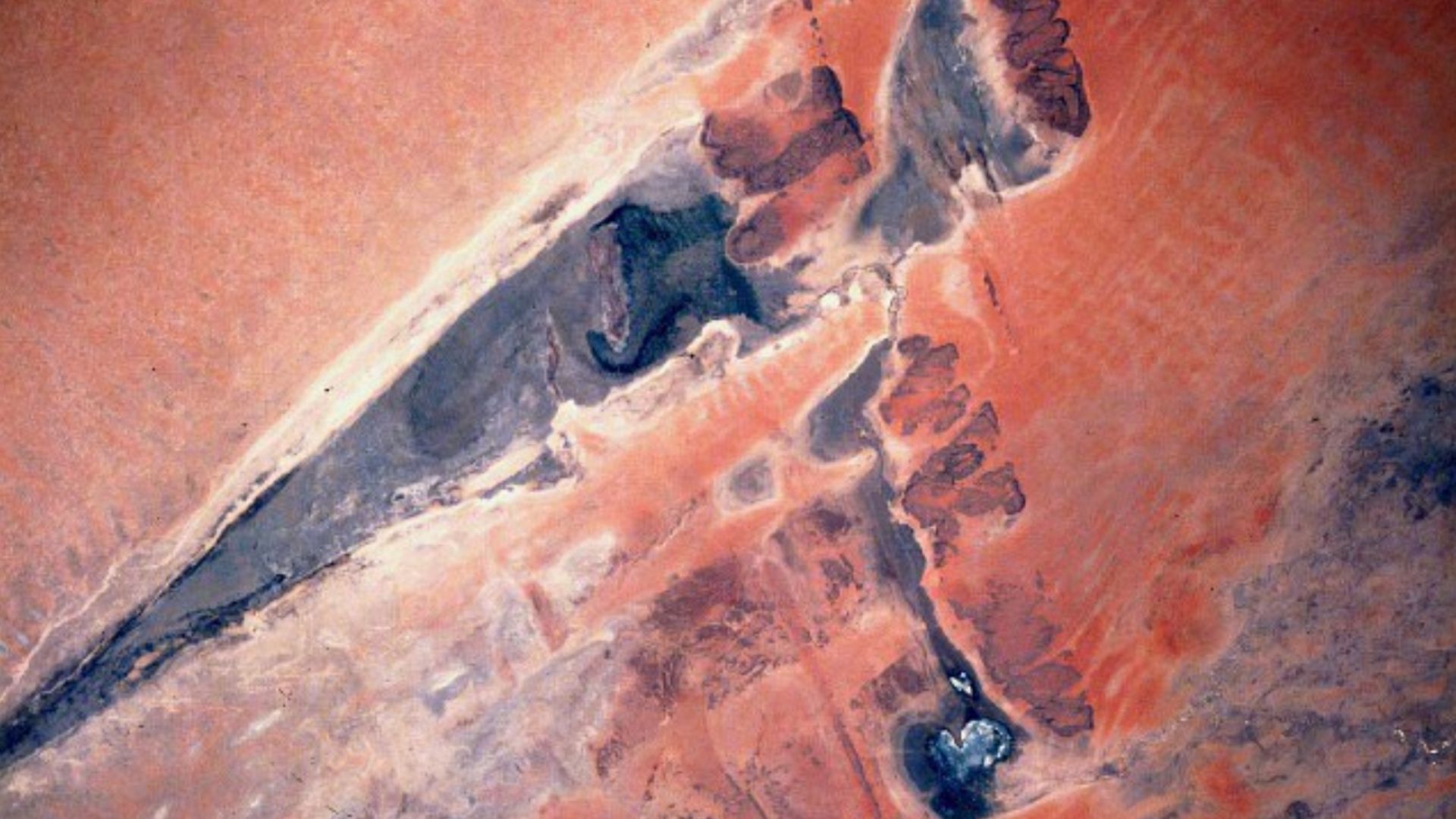
Lake Faguibine sits near the edge of the Sahara in northern Mali. In the past, it received water from Niger River floodwaters.
Satellite images from 1984 to 2020 show how much the lake has shrunk. Lower flooding, drought, and sediment buildup have left much of the basin dry.
The drying of the lake has also accelerated desertification in the area. For nearby communities, that has meant losing access to water, grazing land, and traditional sources of livelihood.
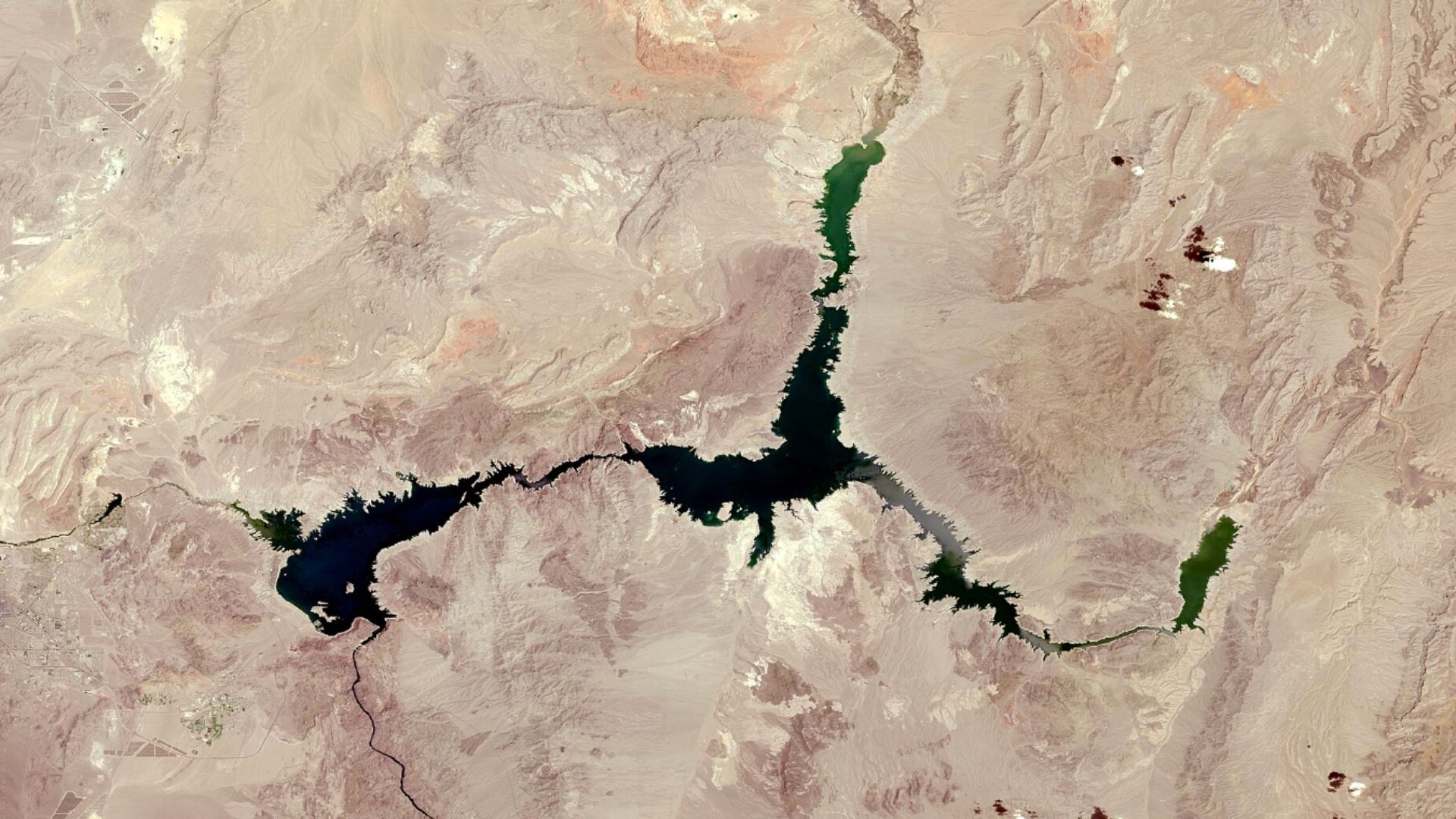
Lake Mead sits along the Nevada-Arizona border and is the largest reservoir in the United States by capacity.
Created after Hoover Dam was built on the Colorado River in the 1930s, it supplies water to millions of people across the US Southwest and parts of Mexico.
Satellite imagery from 1984 and 2020 shows how sharply the reservoir has declined.
These images are not just records of shrinking lakes and rivers. They show how water loss can reshape ecosystems, economies, and communities in a short span of time.
Some places may still recover if conditions improve and water is managed more carefully. Others have already changed so deeply that reversing the damage may be difficult.

Get the latest in engineering, tech, space & science - delivered daily to your inbox.
Atharva is a full-time content writer with a post-graduate degree in media & amp; entertainment and a graduate degree in electronics & telecommunications. He has written in the sports and technology domains respectively. In his leisure time, Atharva loves learning about digital marketing and watching soccer matches. His main goal behind joining Interesting Engineering is to learn more about how the recent technological advancements are helping human beings on both societal and individual levels in their daily lives.
此内容由惯性聚合(RSS阅读器)自动聚合整理,仅供阅读参考。 原文来自 — 版权归原作者所有。