


Norway has launched the first expedition of its new robot submarine capable of diving nearly 20,000 feet (6,000 meters) below the ocean surface in a major step toward mapping its deep-sea regions.
The autonomous underwater vehicle (AUV), also known as Hugin Superior, just departed on its maiden voyage in the northern Norwegian Sea. It was procured by the Norwegian Offshore Directorate (NOD) in 2025.
The vehicle is operated by the Norwegian Marine Data Center (NORMAR), at the University of Bergen. Officials revealed that it is set to gather highly detailed data about the seabed and underwater geological features.
“This is important for Norway,” Hilde Braut, assistant director for new industries at NOD, stated. “Now that we have access to our own advanced mapping resources, we’re enhancing both the knowledge base and our ability to understand and manage deep-sea areas in a responsible way.”
Developed to reach depths of up to 19,685 feet (6,000 meters), the vehicle carries a wide range of advanced sensors for deep-sea exploration. Its equipment further includes high-resolution sonar systems, cameras, as well as laser profilers. It can also detect methane, carbon dioxide, oxygen, and other substances.
The AUV also boasts autonomous navigation technologies, like terrain navigation and pipeline tracking. These enable highly precise operations in deep waters. Its MicroNavigation system provides real-time positioning accuracy of better than 0.04 percent of the distance traveled.
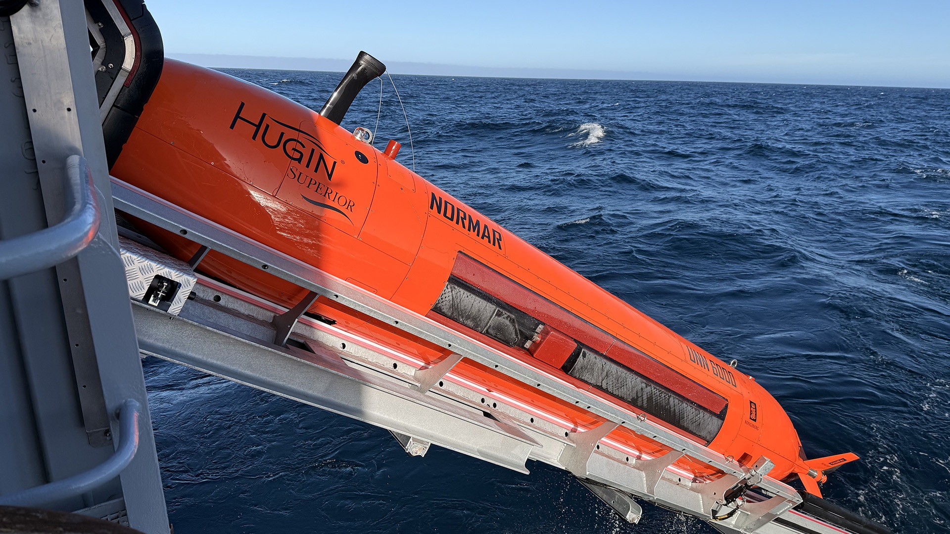
Regarded as the world’s most capable AUV, the Hugin Superior can survey about 1.74 square miles (4.5 square kilometers) per hour, and produce detailed seabed images and bathymetric maps. It can also stay underwater for long periods and be quickly prepared for its next mission.
Its advanced positioning system also allows it to work fully autonomously while the support vessel carries out other tasks. “We’re looking forward to receiving data of very high quality – and to further refining knowledge about Norwegian deep-sea areas,” Braut said.
NOD representatives said deep-sea mapping in Norwegian waters dates back to the 1800s. Early explorers relied on simple weighted lines lowered into the ocean to estimate water depth and identify basic seabed features.
In contrast, researchers today rely on ship-mounted multibeam echo sounders to create detailed maps of the seafloor. AUVs, in turn, can travel much closer to the seabed, and generate significantly higher-resolution data.
Until recently, Norway depended on private companies to conduct such advanced underwater surveys. Last year, the Ministry of Energy funded the procurement of the AUV through the NOD. The platform strengthens the nation’s ability to collect offshore scientific data.
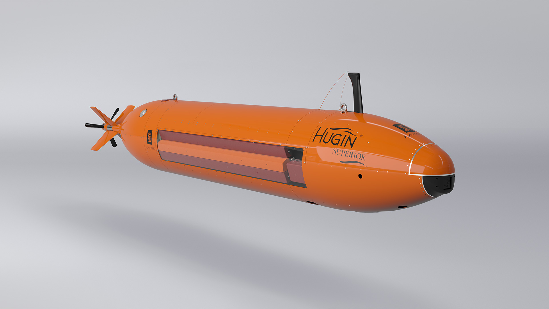
The data gathered by the Hugin Superior is expected to contribute to ongoing research efforts and provide a stronger foundation for future decisions involving deep-sea environments.
“The vehicle is capable of mapping structures and objects with very high precision using sonar, where sound waves are emitted and reflected back,” NOD concluded in a press release. “In many ways, it operates like a bat underwater, orienting itself and gathering information using audio waves.”
Prior to departing from Bergen in early June, the AUV was formally christened in accordance with maritime tradition. Representatives from the Norwegian Offshore Directorate, the Ministry of Energy, the Norwegian Institute of Marine Research, and the Kongsberg Group attended the ceremony.

Get the latest in engineering, tech, space & science - delivered daily to your inbox.
Based in Skopje, North Macedonia. Her work has appeared in Daily Mail, Mirror, Daily Star, Yahoo, NationalWorld, Newsweek, Press Gazette and others. She covers stories on batteries, wind energy, sustainable shipping and new discoveries. When she's not chasing the next big science story, she's traveling, exploring new cultures, or enjoying good food with even better wine.
此内容由惯性聚合(RSS阅读器)自动聚合整理,仅供阅读参考。 原文来自 — 版权归原作者所有。