






Posted by on January 14, 2015
Cycletour.org is a tool for planning cycle tours in Australia, and particularly Victoria. I made it because Google Maps is virtually useless for this: poor coverage in the bush and inappropriate map styling make cycle tour planning a very frustrating experience.
Let’s say we want to plan a trip from Warburton to Stratford, through the hills. This is what Google Maps with “bicycling directions” offers:
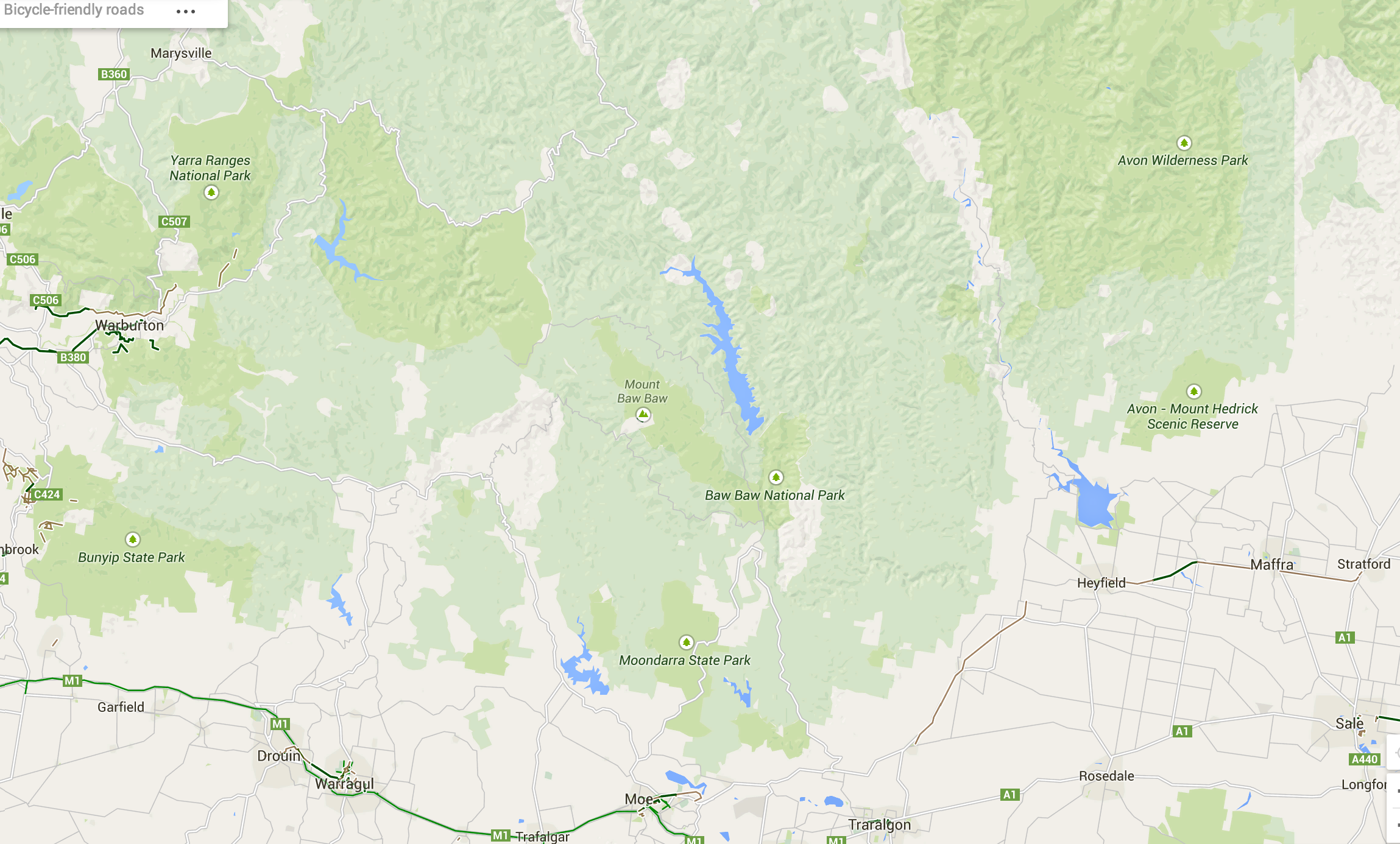
Google Maps – useless for planning cycle tours.
Very few roads are shown at this scale. Unlike motorists, we cyclists want to travel long distances on small roads. A 500 kilometre journey on narrow backstreets would be heaven on a bike, and a nightmare in a car. So you need to see all those roads when zoomed out.
Worse, small towns such as Noojee, Walhalla and Woods point are completely missing!
Enter Cycletour.org:
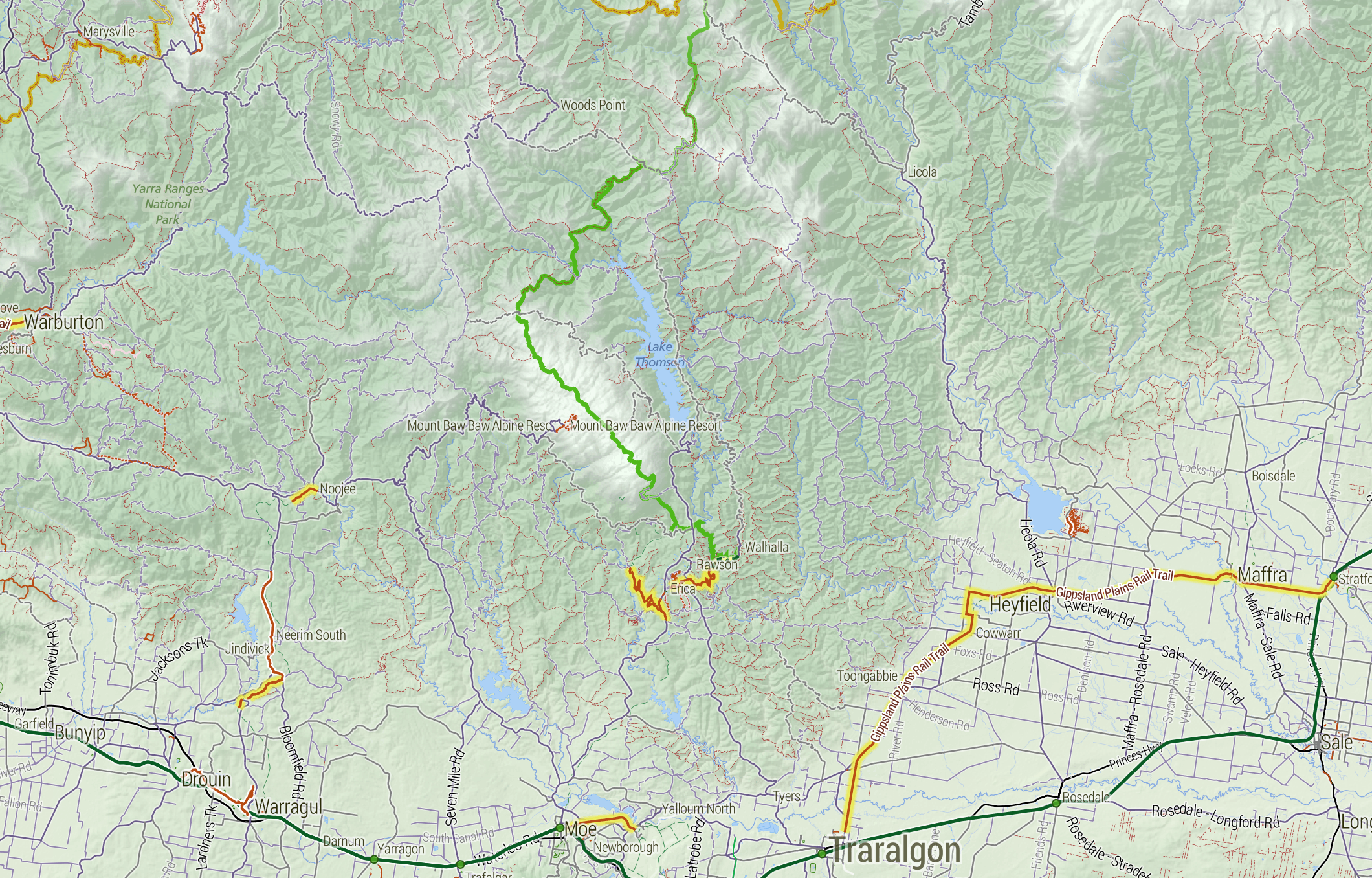
You can plan a route by clicking a start and end, then dragging the route around:
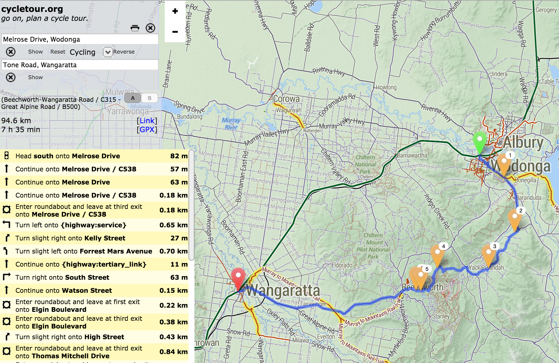
It doesn’t offer safe or scenic route selection. The routing engine (OSRM) just picks the fastest route, and doesn’t take hills into account. You can download your route as a GPX file, or copy a link to a permanent URL.
The other major features of cycletour.org’s map style are:
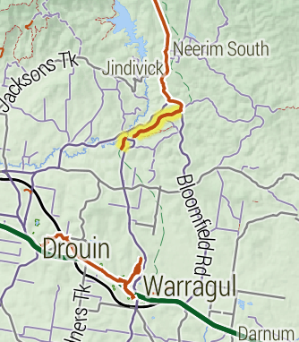 Bike paths are shown prominently. Rail trails (old train lines converted into bike paths) are given a special yellow highlighting as they tend to be tourist attractions in their own right.
Train lines (in green) are given prominence, as they provide transport to and from trips.
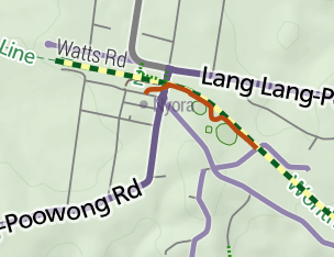 Towns are only shown if there is at least one food-related amenity within a certain distance. This is by far the most important information about a town. Places that are simply “localities” with no amenities are relegated to a microscopic label.
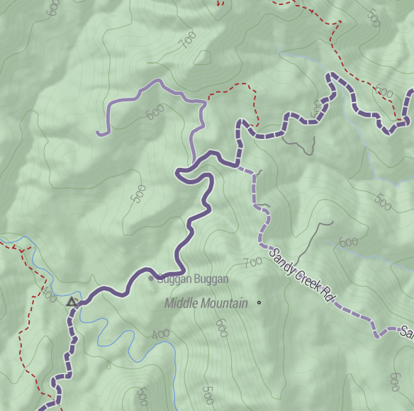 Major roads are dark gray, progressing to lighter colours for minor roads. Unsealed roads are dashed. Off-road tracks are dashed red lines. Tracks that are tagged “four-wheel drive only” have a subtle cross-hashing.
And of course amenities 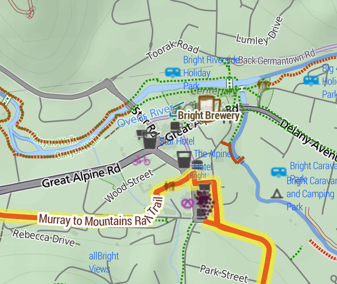 useful to cyclists are shown: supermarkets, campgrounds, mountain huts, bike shops, breweries, wineries, bakeries, pubs etc etc. Yes, well-supplied towns look messy, but as a user, I still prefer having more information in front of me.
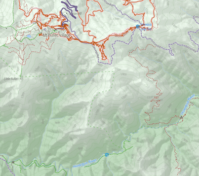 The terrain data is a 20 metre-resolution digital elevation model from DEPI, within Victoria, trickily combined with a 90m DEM elsewhere, sourced from SRTM (NASA). I use TileMill‘s elevation shading feature, scaled so that sea level is a browny-green, and the highest Australian mountains (around 2200m) are white, with green between. 20-metre contours are shown, labelled at 100m intervals.
I’m really happy with how it looks. Many other comparable maps have either excessively dark hill shading, or heavy contours – or both.
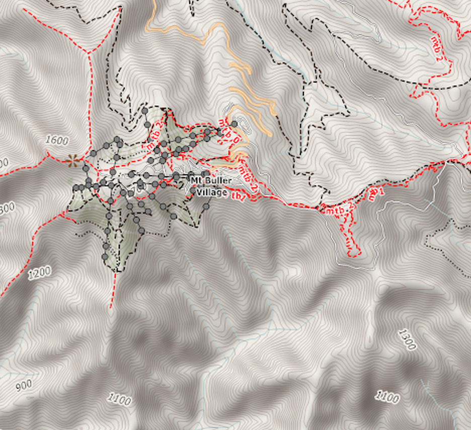
4UMaps
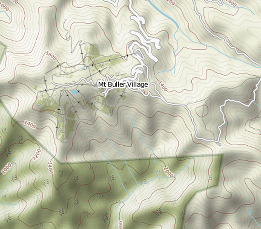
Komoot
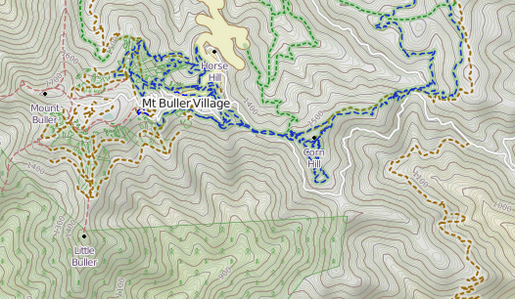
OpenCycleMap
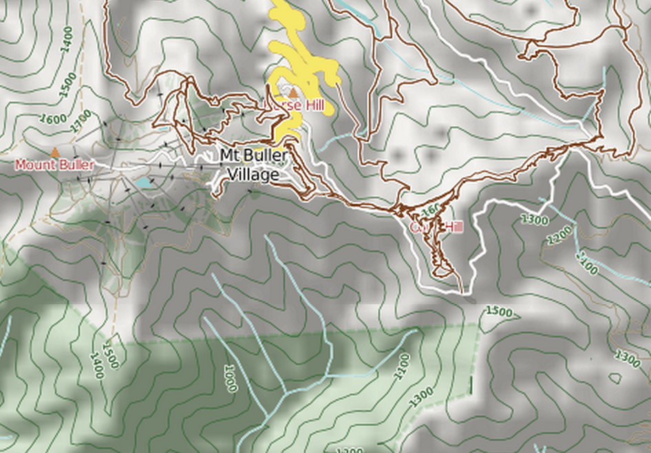
Sigma
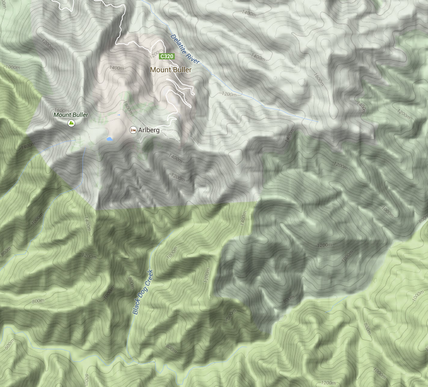
Google Maps (terrain mode)
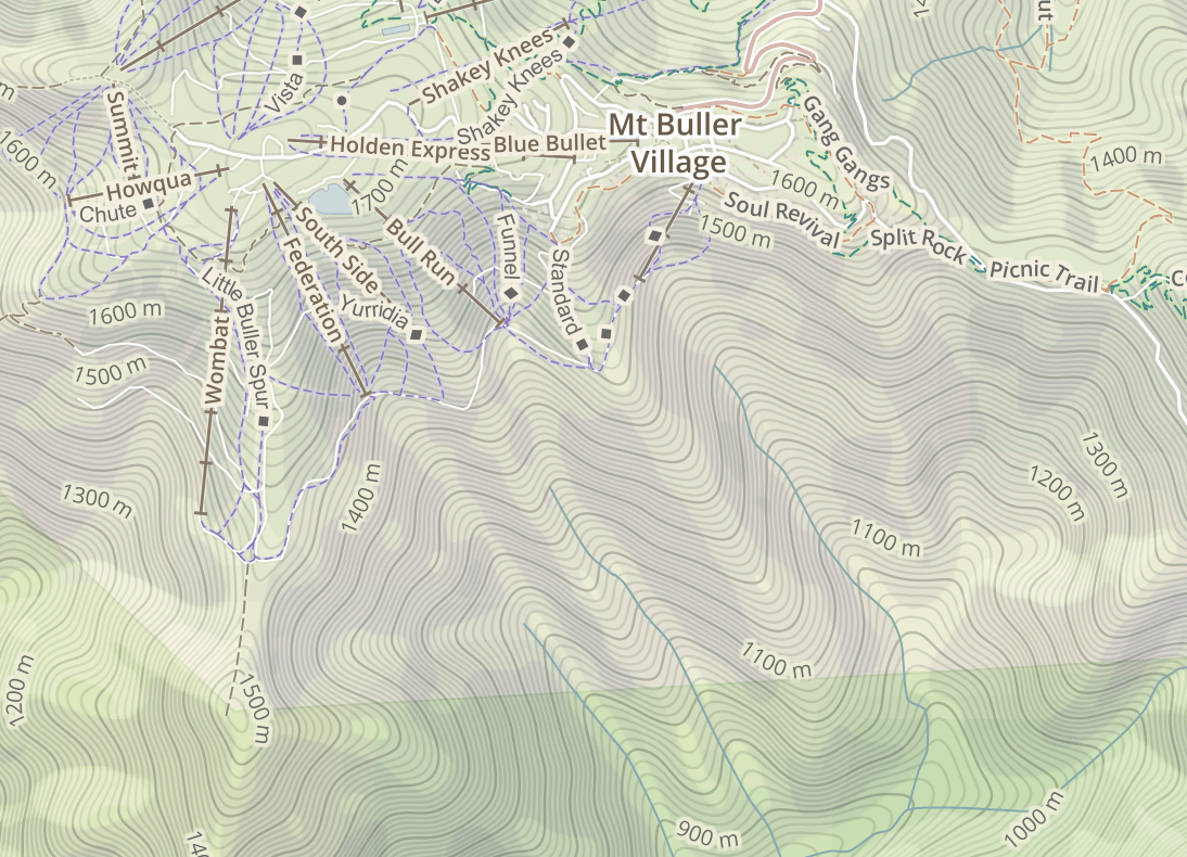
MapBox Outdoors
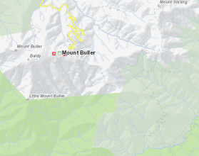
VicMap
I’ve included an assortment of common basemaps, including most of the above. But the most useful is perhaps VicMap, because it represents a completely different data source: the government’s official maps.
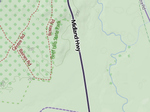
Vegetation
There are also optional overlays. Find a good spot to stealth camp with the vegetation layer.
Or avoid busy roads with the truck volume layer. This data comes from VicRoads.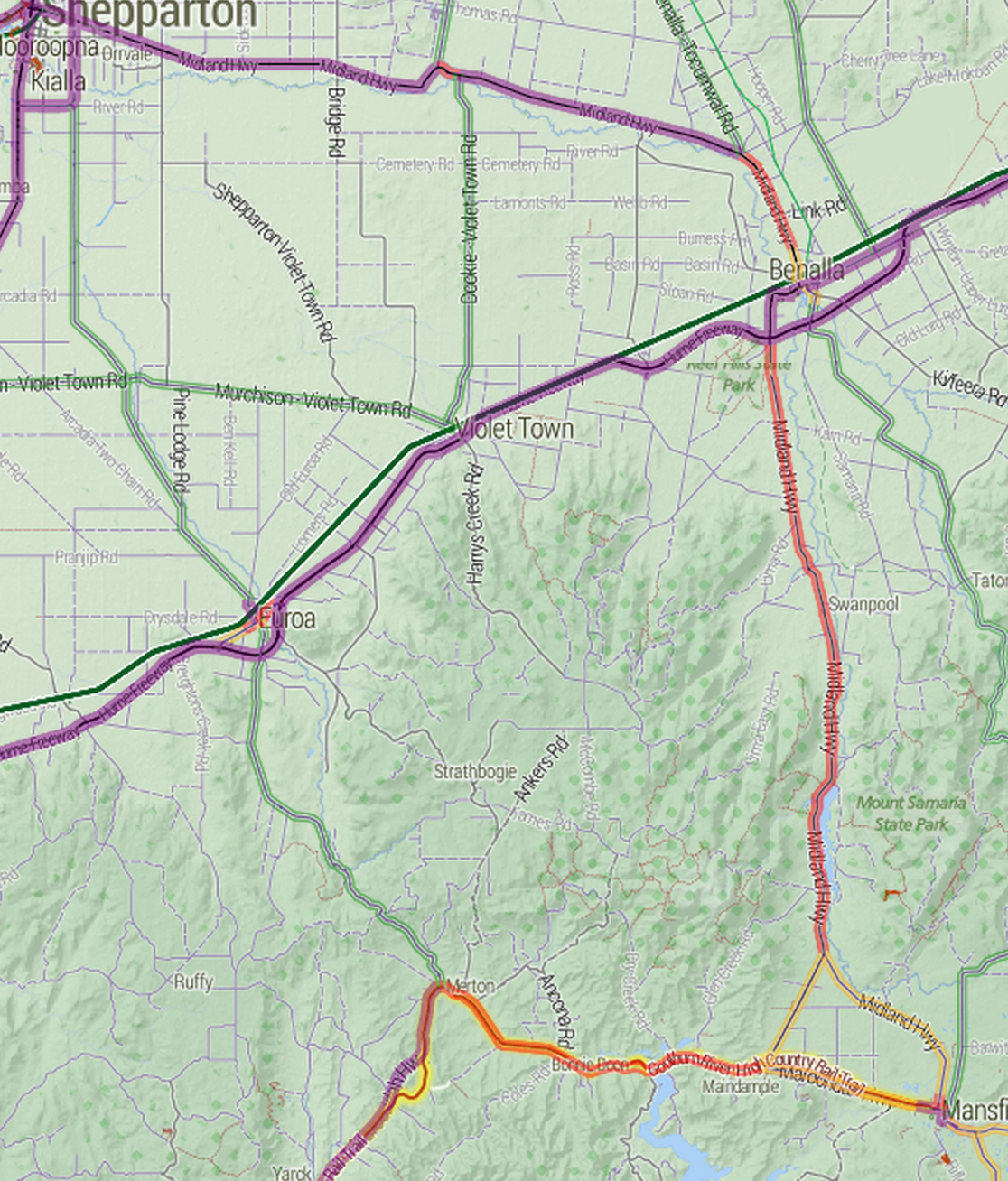
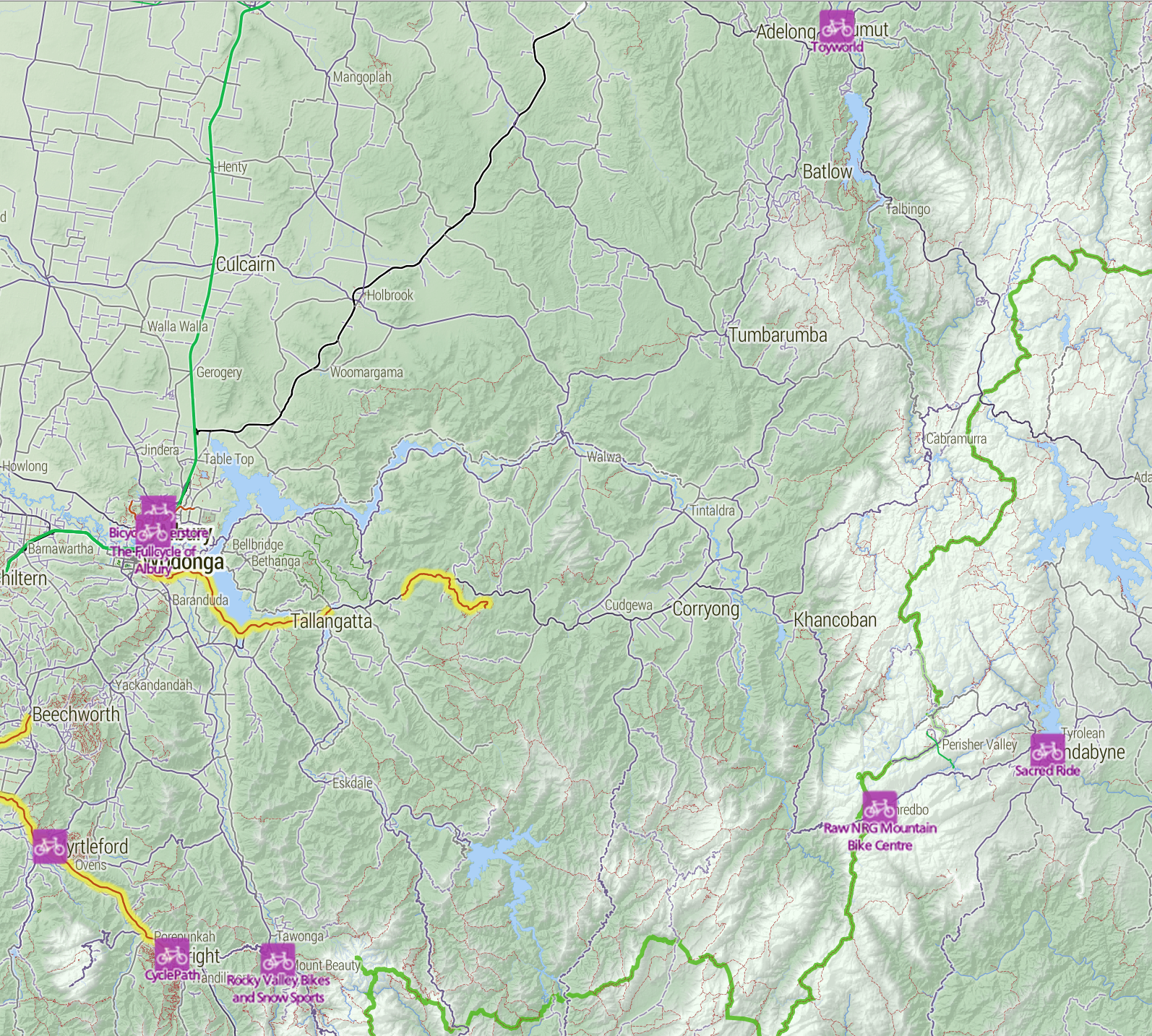
The bike shops layer makes contingency planning a bit easier, by making bike shops visible even when zoomed way out. The data is OpenStreetMap, so if you know of a bike shop that’s missing (or one that has since closed down), please update it so everyone can benefit.
Unfortunately, the site is pretty broken on mobile. But you can download the tiles for offline use on your Android phone using the freemium app Maverick. It works really well.
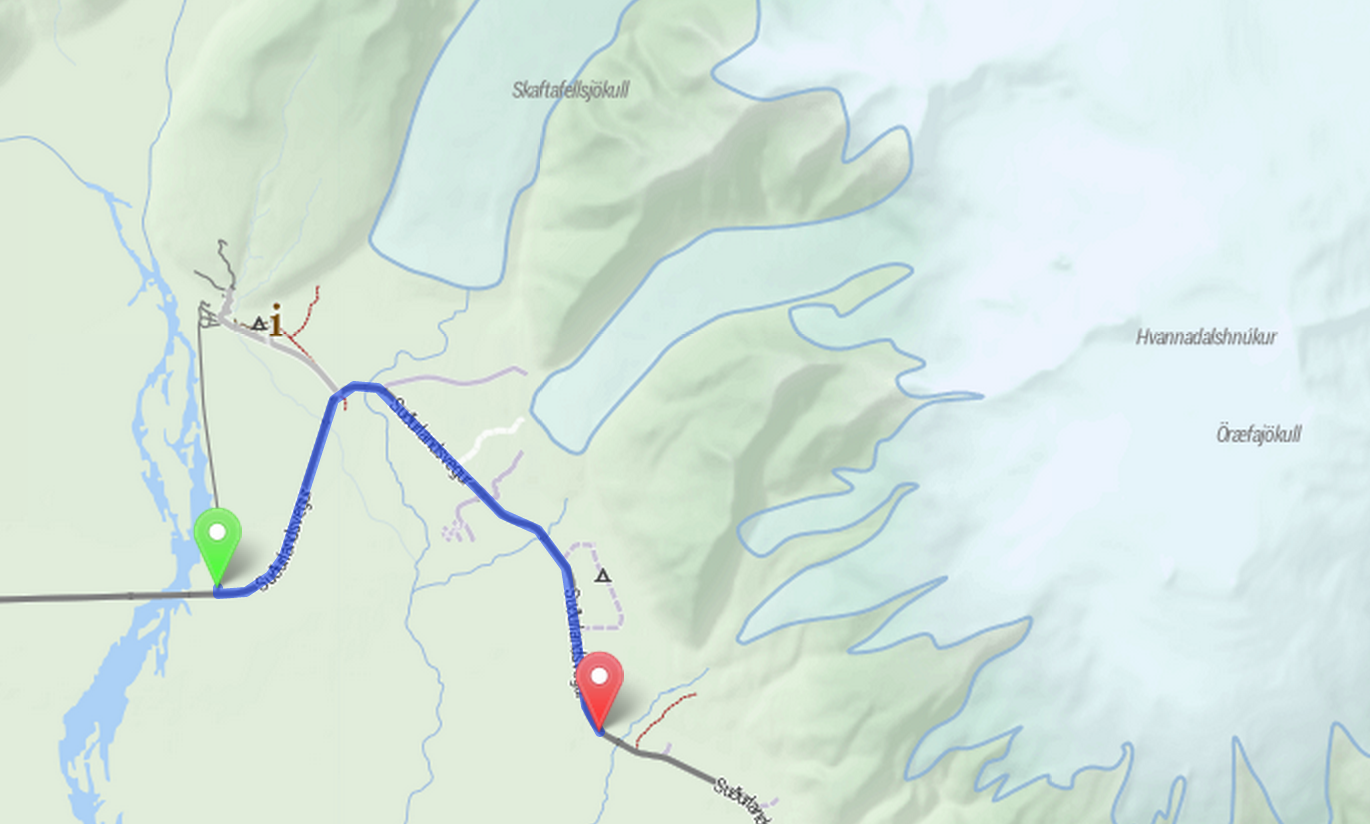
is.cycletour.org for Iceland. Yes, it’s real – but I don’t know how long I will maintain it.
It’s a pretty major technical undertaking to run a map for the whole world. I’ve automated the process for setting up cycletour.org as much as possible, and created my own version for Iceland and England when I travelled there in mid 2014. If you’re interested in running your own, get in touch and I’ll try to help out.
I’d love to hear from anyone that uses cycletour.org to plan a trip. Ideas? Thoughts? Bugs? Suggestions? Send ’em to stevage@gmail.com, or on Twitter at @Stevage1.
此内容由惯性聚合(RSS阅读器)自动聚合整理,仅供阅读参考。 原文来自 — 版权归原作者所有。